Grapes of Roth, Part I-B: Counting to 21 Similarities
[This is the third in series of posts summarizing my new article, “The Grapes of Roth.”]
Introduction
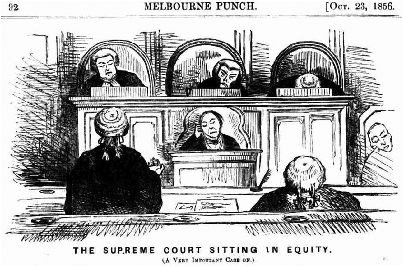
Part I-A: Duck-Rabbits in Equity
In yesterday’s post, I summarized how infringement determinations were made in the age of equity, in the early to mid-twentieth century: judges compared the plaintiff’s and defendant’s works as an ordinary observer would, then mentally pared down the similarities by considering only protected expression. Based on that filtered comparison, the judge would arrive at a conclusion about whether the protected similarities were substantial enough to warrant an infringement determination.
That method put a lot of faith in the ability of federal judges to exercise aesthetic, legal, and policy discretion to reliably arrive at just outcomes involving infringement. But by the early 1960s, that faith was waning. Several factors were behind this shift. The first was simply generational: the active bench of the Second Circuit, the leading copyright appellate court in the mid-twentieth century, experienced a nearly complete turnover between 1951 and 1957, and by 1964, all nine active judges had been appointed within the last ten years. Learned Hand and the cadre of judges who served with him–judges who were used to equitable decision-making–were gone, replaced by judges such as Edward Lumbard, Henry Friendly, Irving Kaufman, and Thurgood Marshall. This new generation of judges had a very different conception of the judicial role, one considerably more wary of open exercises of judicial discretion.
There were several reasons for this, many of which are briefly elaborated in my article, and a full account of which could occupy its own article or even a book. I’ll just briefly list them here. Legal realism and Lochner–era judicial review had desanctified the judicial decisionmaking process in the eyes of many. The rise of the administrative state and an explosion of statutes moved the conceptual center of the law away from courts, and away from the common law, and placed it instead with legislatures and statutory text. The Erie decision reinforced that view by locating law in the command of a government, not a transcendent body of principles. Equity was fading as a familiar decision-making procedure. The federal courts and federal caseload exploded, putting pressure on lower courts to better explain their decisions for more efficient review.
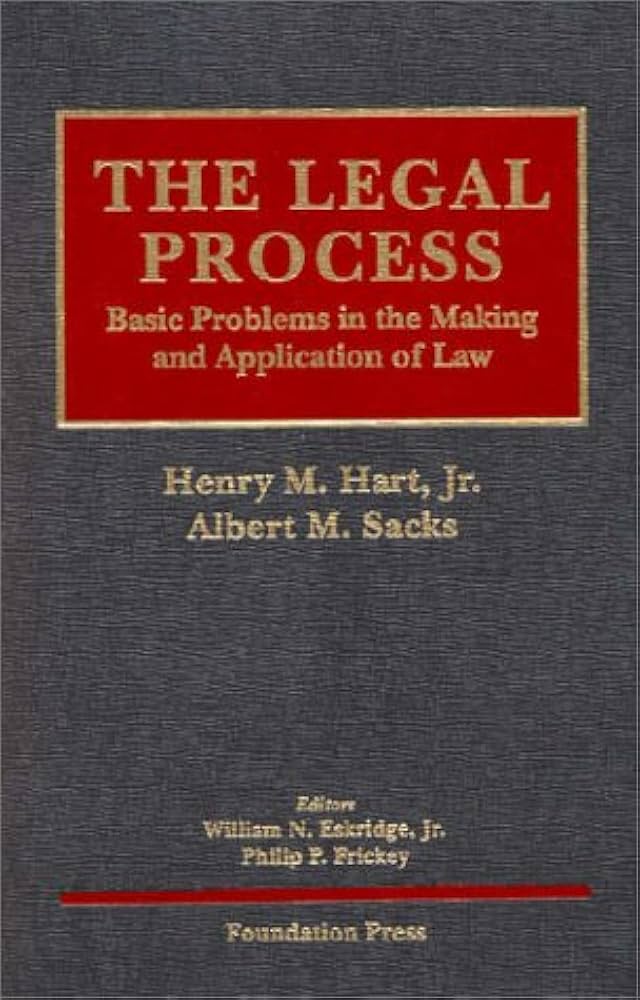
The result was a revolution in legal ideology, the foundational axioms of which were encapsulated by a theory that briefly flourished at Harvard Law School in the 1950s and ’60s, and was laid out in a set of teaching materials titled “The Legal Process.” Legal Process theory had two significant components to it. First was the principle of “institutional settlement,” meaning the way in which different sorts of decisions were parceled out to different institutional players. With the rise of statutes and regulations, the content of the law was no longer mostly in the hands of judges, but rather to a large degree was the responsibility of legislatures and administrative agencies. Once it was settled who had primary authority over the content of some provision of law, that institutions decision should govern the other players–including courts. (For more on how “institutional settlement” may have influenced copyright law, see Shyam Balganesh’s article Copyright as Legal Process.)
The second component was the principle of “reasoned elaboration.” Judicial decisions are legitimate, according to this principle, only because they are explained in a series of steps that “build the bridge between the authorities they cite and the results they decree.” The 1960s witnessed a surge of multi-step tests and multi-factor balancing frameworks. Judge Hand’s statement in Sinram v. Pennsylvania R.R. that ultimately every judicial decision rests on fiat was cast aside.